
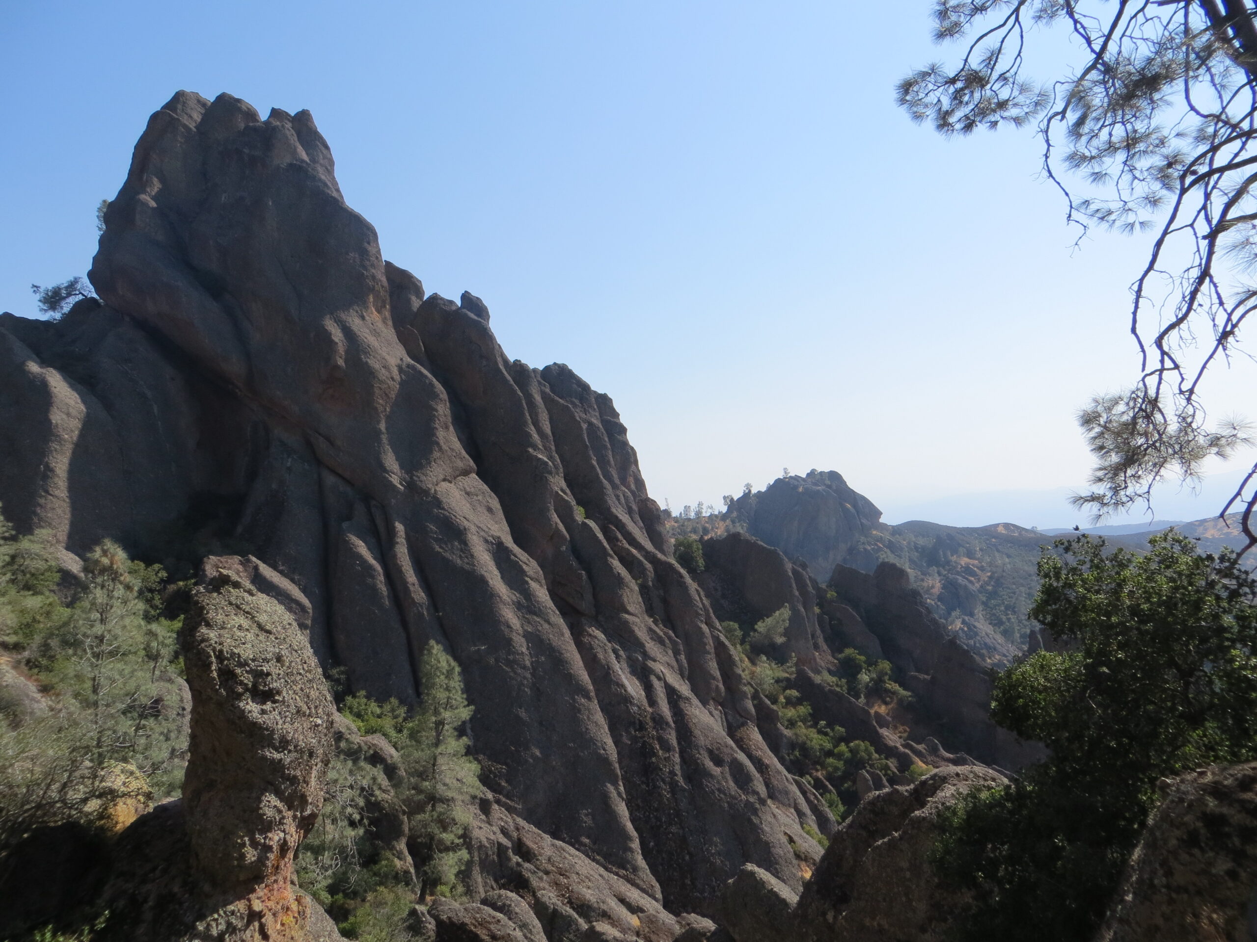
Pinnacles National Park packs an unreasonable amount of hiking variety into a small footprint: a flat family loop past a reservoir, a scramble through pitch-dark talus caves, and a genuinely strenuous climb into rock spires where California condors ride the thermals. The tricky part isn’t finding a trail — it’s figuring out which one actually matches your group, your fitness level, and how much heat you’re willing to take on.
This guide focuses on trail mechanics: distances, difficulty, elevation, and the logistics that make or break a Pinnacles trip (parking, timing, heat). For condor-viewing strategy and the full rundown on cave access and closures, California Wanderer’s Pinnacles condor and cave guide covers that in depth. For help deciding which entrance to use and where to stay nearby, the East vs. West entrance guide is the better starting point.
This article may contain affiliate links. If you book or buy through one, California Wanderer may earn a small commission at no extra cost to you. As an Amazon Associate I earn from qualifying purchases.
Pinnacles Trails at a Glance
Every maintained trail at Pinnacles connects to one of two trailhead areas — Bear Gulch on the east side, or Chaparral on the west side — and most of the park’s named routes are loops or spurs built out of a handful of connector trails. The table below pulls distance, elevation gain, and estimated time directly from the National Park Service’s own trail descriptions, so treat it as the reference point before picking a route.
| Trail / Loop | Distance | Elevation Gain | Est. Time | Difficulty |
|---|---|---|---|---|
| Prewett Point Trail | 0.9 mi round trip | 70 ft | 30–60 min | Easy |
| Moses Spring to Rim Trail Loop | 2.2 mi round trip | 500 ft | 1–1.5 hr | Moderate |
| Balconies Cliffs-Cave Loop | 2.4 mi round trip | 100 ft | 1–1.5 hr | Easy to moderate |
| Juniper Canyon Loop | 4.3 mi round trip | 1,215 ft | 2–3 hr | Strenuous |
| Old Pinnacles Trail to Balconies Cave | 5.3 mi round trip | Minimal | 3–5 hr | Moderate |
| Condor Gulch to High Peaks Loop | 5.3 mi round trip | 1,300 ft | 3–5 hr | Strenuous |
| High Peaks to Bear Gulch Loop | 6.7 mi round trip | 1,425 ft | 4–5 hr | Strenuous |
| High Peaks to Balconies Cave Loop | 8.4 mi round trip | 1,540 ft | 4–5 hr | Strenuous |
| Chalone Peak Trail | 9 mi round trip | 2,040 ft | 3–5 hr | Strenuous |
| North Wilderness Trail Loop | 9.3 mi round trip | 1,020 ft | 5–8 hr | Strenuous |
Notice how few “easy” rows there are. That’s the honest shape of this park — Pinnacles rewards people who come ready to climb, and the easy options, while real, are limited to two routes.
Easy and Family-Friendly Trails
If you’re hiking with young kids, anyone with mobility limits, or you just want a short walk before the heat sets in, start with the Moses Spring to Rim Trail Loop. It’s 2.2 miles round trip from Bear Gulch, gains only about 500 feet, and packs in rock formations, a short talus-cave passage, and Bear Gulch Reservoir — genuinely more scenery per mile than almost anything else in the park.
The Prewett Point Trail, near the Pinnacles Visitor Center on the east side, is shorter still (0.9 miles round trip, 70 feet of gain) and about as flat as Pinnacles gets. It’s a reasonable pick if you just want a quick look at the rock formations without committing to elevation.

Into the Talus Caves
Pinnacles has two talus cave systems — Bear Gulch Cave and Balconies Cave — formed by giant boulders wedged into narrow canyons rather than carved out of rock the way most caves are. Both require a flashlight or headlamp; sections are genuinely dark, not just dim.
The Balconies Cliffs-Cave Loop (2.4 miles round trip from the Chaparral trailhead on the west side) is the easiest way to experience a cave passage without a long approach hike. The Old Pinnacles Trail to Balconies Cave (5.3 miles round trip) reaches the same cave from the east side, through Bear Gulch, for anyone who’d rather start from that trailhead.
Both caves close periodically for Townsend’s big-eared bat roosting season, high water after storms, or maintenance — check the park’s current conditions page before you commit to a cave-specific route. For the full rundown on seasonal cave closures and how they interact with condor viewing, see California Wanderer’s dedicated condor and cave guide.

The High Peaks: Pinnacles’ Signature Hike
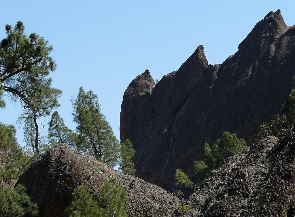
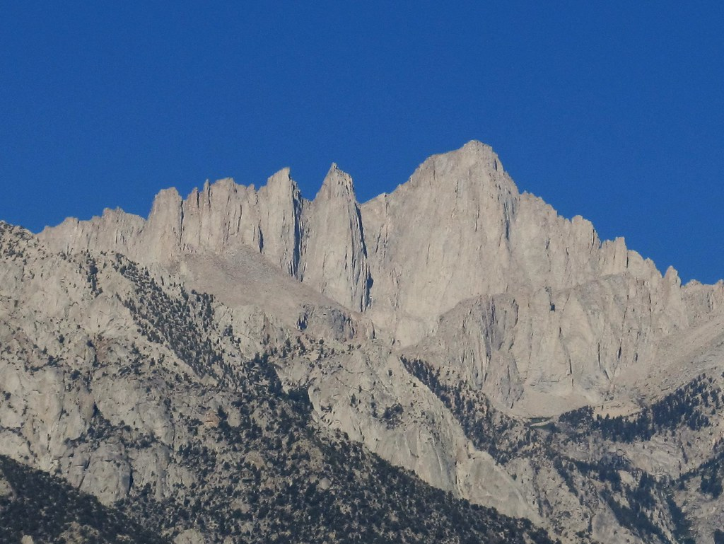
This is the hike people actually come to Pinnacles for. The High Peaks Trail climbs into a cluster of volcanic spires with genuine exposure — narrow, carved footholds and a handrail-assisted section the Park Service itself calls the “Steep and Narrow,” where the trail is cut directly into the rock. It’s not technical climbing, but it’s not a casual stroll either, and it’s a real consideration for anyone with a fear of heights.
Three loop options reach the High Peaks, all rated strenuous:
Condor Gulch to High Peaks Loop (5.3 miles, 1,300 ft gain) starts with condor-overlook views early on, then climbs into the formations. High Peaks to Bear Gulch Loop (6.7 miles, 1,425 ft gain) combines the peaks with a pass by Bear Gulch Reservoir on the way back down. High Peaks to Balconies Cave Loop (8.4 miles, 1,540 ft gain) is the longest option, tacking on a cave passage at the far end.
California condors are frequently seen soaring near the High Peaks and Chalone Peak, and keeping a safe, respectful distance matters — these are seriously endangered birds, and the park takes disturbance seriously. California Wanderer’s condor-viewing guide covers where and when sightings are most likely, since that’s a different question than which trail to take.
For Serious Hikers: Peak-Baggers and Long Loops
If the High Peaks loops aren’t enough, two routes go further. The Chalone Peak Trail (9 miles round trip, 2,040 ft gain) climbs to North Chalone Peak, the park’s high point, with wide valley views — the continuation to South Chalone Peak exists but isn’t maintained, so most hikers turn around at North Chalone. The North Wilderness Trail Loop (9.3 miles, 1,020 ft gain) is the longest standard loop in the park, running 5 to 8 hours and seeing a fraction of the High Peaks’ foot traffic.
Neither of these is a spontaneous afternoon hike. Start early, carry more water than you think you need, and tell someone your plan — cell service is unreliable throughout the park, on every trail listed here.
Trailhead Logistics: Parking, Entrances, and the Seasonal Shuttle
Pinnacles has two separate entrances — east (Bear Gulch, near Hollister) and west (Chaparral, near Soledad) — and there’s no road connecting them inside the park. Driving between the two trailheads means leaving the park and going around, roughly two hours each way. Pick your entrance before you arrive; don’t plan on hiking from one side and driving to the other mid-trip.
The Bear Gulch Day Use Area lot on the east side has just 64 spaces and fills early on busy mornings, especially weekends, holidays, and spring wildflower season. Once it’s full, overflow parking is at a separate lot behind the campground store, about 150 spaces, which also serves as the pickup point for the park’s seasonal shuttle to Bear Gulch — check the current shuttle schedule before counting on it, since it doesn’t run year-round. Arriving by 8 or 9 a.m. on a weekend, or hiking on a weekday instead, is the simplest way to avoid the parking scramble entirely.
Not sure which entrance actually fits your trip, or where to stay nearby? California Wanderer’s East vs. West entrance guide walks through that decision in detail, including lodging near each side.

Heat, Timing, and Safety
Pinnacles gets hot, and the exposed rock makes it worse — the Park Service notes that temperatures on the High Peaks and Chalone Peak can run about 10 degrees hotter than the parking areas in summer, with essentially no shade anywhere on the strenuous trails. There’s no water available on any trail in the park, so carry at least one liter of water per hour of hiking, per person, and plan to avoid the 10 a.m. to 4 p.m. window on hot days, particularly on the High Peaks routes.
One practical trick for the High Peaks loops: hike the Condor Gulch approach first thing in the morning while it’s still cool, so the most exposed, least-shaded stretch is behind you before the day heats up, rather than saving it for the hot afternoon return.
A few other things worth knowing before you go: rattlesnakes are present throughout the park, trails can be narrow (2 to 4 feet wide in places), and sturdy, non-slip footwear matters more here than on a typical day hike, given the loose rock and talus-cave scrambling. Hiking with a partner is a reasonable precaution given how spotty cell service is.

What to Pack for a Pinnacles Hike
Pinnacles isn’t a place where you can improvise gear on the fly — there’s no water on the trails and very little shade, so a few specific items genuinely matter more here than on an average hike.
What to Pack for Pinnacles
- a hydration reservoir or a couple of extra liter bottles — with zero water sources on any trail and the 1-liter-per-hour rule in play, carrying more capacity than you think you’ll need is the safest default for the longer loops.
- a wide-brimmed sun hat — the High Peaks and Chalone Peak routes have essentially no shade, and that’s also where the heat runs hottest.
- a pair of broken-in hiking boots — the talus-cave scrambles and loose, rocky switchbacks reward real ankle support and grip over trail runners or sandals.
Entrance Fees
As of the National Park Service’s fee page, entry to Pinnacles runs $30 per private vehicle (covers everyone inside, valid 1–7 days), $25 per motorcycle, or $15 per person on foot or bike for those 16 and older — kids under 16 get in free. A Pinnacles-specific annual pass runs $55, or an America the Beautiful annual pass ($80 for U.S. residents) covers this park plus most other federal recreation sites. Fees are the kind of thing that changes without much warning, so it’s worth a quick check of the official page before you go, rather than trusting a number from an article, including this one.
Before You Go: Quick Checklist
Pick your entrance (east or west) before you arrive, since you can’t easily switch mid-trip. Check current trail and cave conditions the morning of your hike. Arrive early if it’s a weekend, a holiday, or spring wildflower season. Carry at least a liter of water per hour of hiking, per person, since none is available on the trail. Bring a flashlight if a cave route is on your list, and sturdy footwear regardless of which trail you pick.
Pinnacles isn’t a park you hike casually — the terrain and heat ask a little more of you than most day hikes do. Match the trail to your group honestly, and it delivers some of the most distinctive scenery in California for the effort.
Leave a Reply